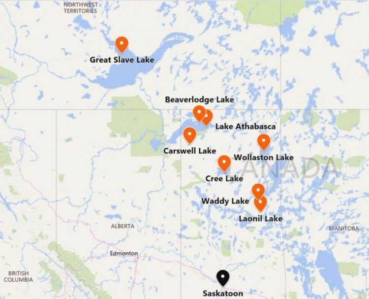
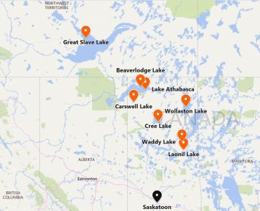
This map was generated by Bing Maps. I would like to find an old map which would include the following lakes in Canada: Great Slave Lake, Carswell Lake, Beaverlodge Lake, Lake Athabasca, Cree Lake , Waddy Lake, Laonil Lake and Wollaston Lake (references are from Canadian Encyclopedia) – these are lakes near or on which I have worked at exploration or mine sites or sites in the process of being decommissioned. I would like to have the border of the lakes on the map outlined (the names of the lakes do not have to be indicated). Probably, there will be more lakes and the area will be larger on maps that include all these lakes. The data used to draw these maps would preferably be obtained through surveying and triangulation from ground level (not satellites).